Mapping the Mercenary
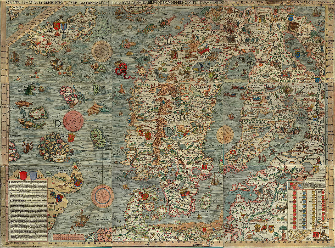
In this part of my digital thesis, ArcGiS Story Maps are used in combination with primary and secondary source research to take a closer look at the Scandinavian mercenary throughout medieval history. These maps examines environmental characteristics of the Scandinavian landscape which may have made mercenary work an attractive alternative to more conventional means of employment. For this project, Scandinavia includes Denmark, Norway, Sweden and occasionally Iceland. While it is understood that the political and cultural sphere of Scandinavian influence is much larger than these few countries, it is from these nations that the majority of Scandinavian mercenaries hail.
Interactive GIS maps were chosen as the main medium for the project because it has several distinct advantages over more traditional text-based platforms. The introduction of David Bodenhamer, John Corrigan and Trevor Harris’ book Deep Maps and Spatial Narratives provides a perfect summary of these strengths. According to these academics, “a deep map is simultaneously a platform, a process, and a product. It is an environment embedded with tools to bring data into an explicit and direct relationship with space and time; it is a way to engage evidence within its spatiotemporal context and to trace paths of discovery that lead to a spatial narrative and ultimately a spatial argument,” (Bodenhamer, Corrigan and Trevor 2015, 3). In this same manner, the various maps offered up in this section hope to combine spatial data with historical narratives and helpful illustrations to create a multilayered, multimedia experience. David Bodenhammer perhaps summarizes the purpose of these maps the best when he said:
“However structured, these layers would operate as do other layers within a GIS, view individually or collectively as a whole or within groups, but all tied to time and space that provide perspectives on the places that interest us. It is an open, visual, and experiential space, immersing users in a virtual world in which uncertainty, ambiguity, and contingency are ever present but all are capable of being braided into a narrative that reveals the ways in which space and time influences and is influenced by social interaction,” (Bodenhammer, Corrigan and Trevor 2015, 22).
With that in mind, the mapping section includes a series of case studies in which Scandinavian mercenaries are examined in specific geographic regions. This is done in order to discover how the sellswords’ experiences differed from place to place. To accomplish this, the project investigates the Early Medieval British Isles, the Kingdom of the Franks, the environmental influences of the Scandinavian homeland, as well as Eastern Europe and the Byzantine Empire. Each of these case studies reveals something unique about the mercenaries who served there. These maps include visuals, infographics and specific point data that provides a wealth of information on the mercenary/band such as their employer, how much they were paid if available, and the dates they were employed. Also, in order to facilitate understanding, these points include primary source information where possible, often including a direct quote from the relevant source and bibliographic information. Occasional additional notes that help annotate the primary source and provide clarity are also provided on select data points.
A few disclaimers and tips:
Foremost, the points given on this map are not exact representations of where historical events took place. Instead, the points reflect an educated guess which was made using primary and secondary research alongside modern day mapping technology. For instance, whenever there is a general Byzantine proclamation made, that point is in Constantinople, the governing center of that empire, even though the original decree may have been made somewhere else entirely.
Major cities which may have multiple points
- Byzantium and the Rus - Constantinople (Byzantine), Novgorod (Rus), Kiev (Rus)
- The Frankish Kingdoms - Aachen, Paris
- The Early-Medieval British Isles - Dublin, London
If you find yourself clicking on the same point over and over again, check to see if there isn’t a small arrow symbol (looks like a play symbol) in the pop-up window. If there you find this symbol, it means that at your current zoom level the points are too close to one another and therefore have been lumped together. From here, you can either click this button to cycle through the points at your current zoom level, or use the built-in zoom tool and re-adjust your view until the points are distinct from one another.
So, as one can imagine, there is undoubtedly some point or another that has been placed in the wrong spot, and for that, I apologize. This project is not so much about giving the specific locations of each mercenary band, but instead to display how far reaching the phenomenon was.
For those who have slower setups or may be accessing the maps via WiFi I recommend slow scrolling. These story maps have quite a lot of media and data attached to them and if one scrolls too fast there is a chance that the page will not load or display properly.
As a final disclaimer, these maps adjust themselves to fit mobile devices, but the ratios and proportions often do not remain the same and therefore may look somewhat strange. It is recommended that this part of the project be accessed through a laptop or desktop computer.